


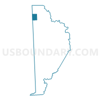
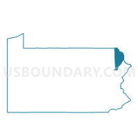
STARRUCCA Voting District, Wayne County, Pennsylvania
About
Outline

Summary
| Unique Area Identifier | 664346 |
| Name | STARRUCCA Voting District |
| County | Wayne County |
| State | Pennsylvania |
| Area (square miles) | 8.99 |
| Land Area (square miles) | 8.92 |
| Water Area (square miles) | 0.07 |
| % of Land Area | 99.23 |
| % of Water Area | 0.77 |
| Latitude of the Internal Point | 41.89090550 |
| Longtitude of the Internal Point | -75.44988410 |
Maps

Graphs
Select a template below for downloading or customizing gragh for STARRUCCA Voting District, Wayne County, Pennsylvania


Neighbors
Neighoring Voting District (by Name) Neighboring Voting District on the Map
- HARMONY TWP Voting District, Susquehanna County, PA
- PRESTON TWP Voting District, Wayne County, PA
- SCOTT TWP Voting District, Wayne County, PA
- THOMPSON TWP Voting District, Susquehanna County, PA
Top 10 Neighboring County Subdivision (by Population) Neighboring County Subdivision on the Map
- Preston township, Wayne County, PA (1,014)
- Scott township, Wayne County, PA (593)
- Harmony township, Susquehanna County, PA (528)
- Thompson township, Susquehanna County, PA (410)
- Starrucca borough, Wayne County, PA (173)
Top 10 Neighboring Place (by Population) Neighboring Place on the Map
Top 10 Neighboring Unified School District (by Population) Neighboring Unified School District on the Map
Top 10 Neighboring State Legislative District Lower Chamber (by Population) Neighboring State Legislative District Lower Chamber on the Map
Top 10 Neighboring State Legislative District Upper Chamber (by Population) Neighboring State Legislative District Upper Chamber on the Map
Top 10 Neighboring 111th Congressional District (by Population) Neighboring 111th Congressional District on the Map
Top 10 Neighboring Census Tract (by Population) Neighboring Census Tract on the Map
- Census Tract 324, Susquehanna County, PA (4,321)
- Census Tract 323, Susquehanna County, PA (3,857)
- Census Tract 9602, Wayne County, PA (3,137)